
If you’re looking for an unforgettable hike in Southern California, the Sandstone Peak Trail should be at the top of your list. As the highest point in the Santa Monica Mountains, Sandstone Peak rises to 3,111 feet, offering breathtaking panoramic views of the Pacific Ocean, Channel Islands, and rugged mountain landscapes.

For those seeking one of the most rewarding hikes in Southern California, Sandstone Peak is a must. Standing at 3,111 feet, it is the highest point in the Santa Monica Mountains, offering panoramic views of Malibu, the Pacific Ocean, the Channel Islands, and the inland valleys.
This hike takes you through dramatic rock formations, chaparral-covered hills, and hidden canyons, making it a scenic adventure from start to finish!
While there is a shorter, direct route to the summit, hiking to Sandstone Peak via the Mishe Mowka Trail is the best way to experience the area’s rugged beauty. Along the Mishe Mowka Trail, you’ll hike to viewpoints where you can see iconic rock formations like Balanced Rock, Split Rock, Tri-Peaks, and Inspiration Point before reaching the summit.
Trail Details
- Distance: 3.1 miles (out and back) or 6 miles loop
- Elevation: 1,075 feet
- Difficulty: Moderate
- Time: 3 – 4 hours
- Restrooms: Yes
- Dogs: Yes, but dogs must be leashed.
If you’re looking for an unforgettable adventure in Malibu, this hike offers spectacular views, a bit of a challenge, and plenty of photo-worthy moments!
In this guide, we’ll cover everything you need to know to hike Sandstone Peak, including—directions, trail details, and tips to make the most of your experience.
Best time to hike the Sandstone Peak Trail
The best time to hike Sandstone Peak is during the cooler months of fall, winter, and spring when temperatures are mild, and the trail is more comfortable to navigate. Since the Santa Monica Mountains can get very hot in the summer, and there is limited shade on the trail, it’s best to avoid midday hikes during warmer months.
One thing to keep in mind is that coastal fog can impact visibility, especially in late spring and early summer. During “May Gray” and “June Gloom,” thick marine layers frequently roll in from the Pacific Ocean, sometimes lingering well into the afternoon.
While this creates a cool hiking environment, it can also obscure the panoramic ocean views from the summit. If you want the best chance of clear skies, aim for fall, winter, or early spring, when the air is crisp and visibility is typically better.
How to hike the Sandstone Peak Trail
The hike begins at the Sandstone Peak Trailhead, where you’ll find a large parking lot. If you’re visiting on a weekday, you may have it mostly to yourself. On weekends, however, it can fill up quickly—so plan to arrive early.

If you need a restroom break before hitting the trail, there is a vault toilet at the trailhead. Otherwise, look for the small picnic area and head toward it.
Just past the picnic area, you’ll find a closed gate—walk around it to begin your ascent along Backbone Trail.
The hiking trail begins to ascend steeply almost immediately. As you hike up, you will be able to see Sandstone Peak directly in front of you.
 Backbone Trail
Not long after starting the hike, you’ll reach a junction on the Backbone Trail. Turning left will take you directly to Sandstone Peak on a steep route, and turning right will take you on a longer, more gradual ascent via the Mishe Mowka Trail.
We opted to go left for a quicker, steeper climb to the summit. The trail gains elevation quickly, but the stunning views will keep you motivated!
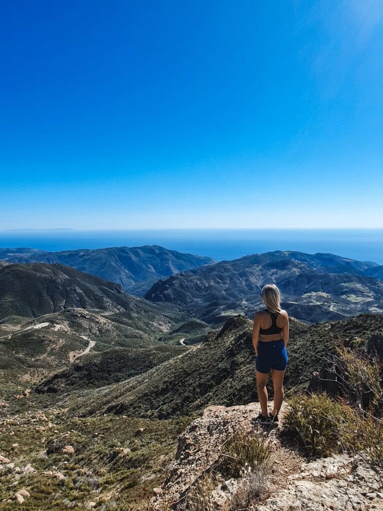
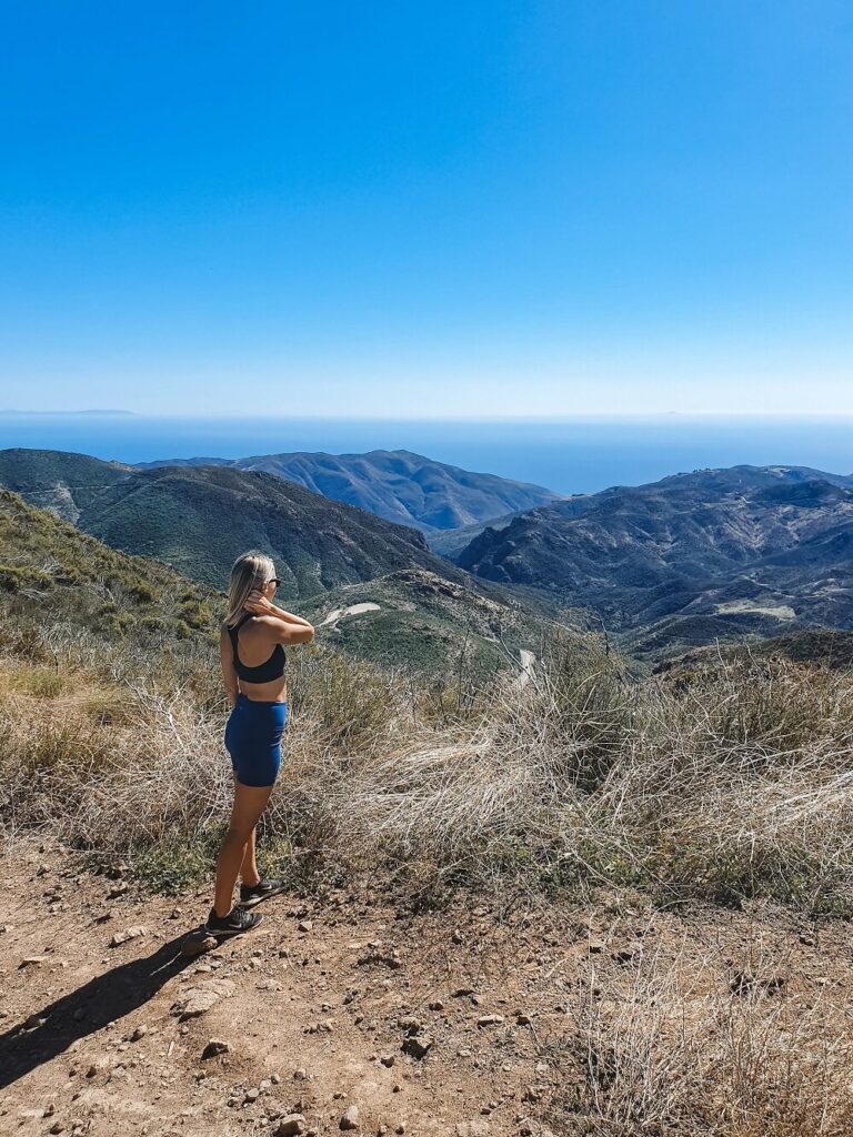
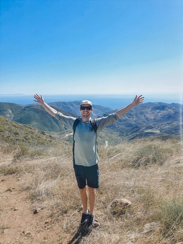
Looking west, you’ll see Malibu’s coastline, the Pacific Ocean, and even Catalina Island. To the east, you’ll spot Simi Valley, Westlake, Thousand Oaks, and beyond.
 Looking east over Conejo Valley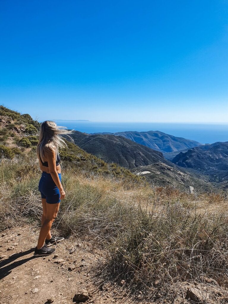
As you approach the summit, the trail becomes even steeper. Eventually, Backbone Trail passes just beneath Sandstone Peak—look for a spur trail on the left that leads to the summit. The final push to the top requires some rock scrambling but it’s nothing too difficult.
Just before you reach Sandstone Peak’s summit, you’ll notice an unmaintained side trail. It leads to a breathtaking overlook of Malibu’s coastline and Ventura’s coastline to the north. This is the best view from Sandstone Peak Trail!

Once you’ve taken a peek at the amazing viewpoint from the end of the unmaintained side trail, continue up to the official summit of Sandstone Peak. It’s only a few short steps away!
At the summit, you’ll find a memorial to W. Herbert Allen, a former Boy Scouts of America leader who donated land for nearby Camp Circle X. The Boy Scouts actually petitioned to rename the peak Mt. Allen, but the request was denied since Allen was still alive at the time, and there was a long-standing policy not to approve a geographic name in commemoration of a living person.
Look underneath the memorial, you’ll find a small metal box containing a summit registry book—we signed our names on October 4, 2023!

Standing at 3,111 feet, you’re now at the highest point in the Santa Monica Mountains, towering 1,075 feet above the trailhead. We found a small boulder to perch ourselves on while enjoying a quick snack and the unbelievable views.
The Santa Monica Mountains were formed by now-extinct volcanoes, and despite its name, Sandstone Peak is not made of sandstone, but rather andesite which is a volcanic rock.


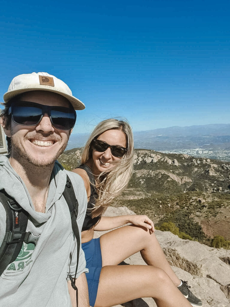
Once you’re ready to continue, follow the spur trail back down to Backbone Trail. From here, you can either go back to the parking lot the same way you came, completing this trail as a 3.1 mile out-and-back hike.
Another option is to turn left on Backbone Trail which eventually connects with Mishe Mowka Trail to complete this hike as a 6 mile loop. It does take longer to reach the parking lot, but the good news is it’s all downhill from here!
The Mishe Mowka Trail will lead you through a scenic canyon with dramatic rock formations. Keep an eye out for Balanced Rock, one of the most unique geological features along the trail.
 Mishe Mowka Trail
 Balanced Rock
Less than a mile after passing Balanced Rock, Mishe Mokwa Trail rejoins Backbone Trail at a junction, where you should turn right onto Backbone Trail to get back to the Sandstone Peak Trailhead. If you parked at Mishe Mowka Trailhead, stay on Mishe Mowka Trail until you get back to that parking lot.
And that’s a wrap! If this hike inspired you to tackle more Southern California peaks, consider adding Strawberry Peak, Mugu Peak or Mt Baldy to your hiking list 🙂
Tips for hiking the Sandstone Peak Trail
- There is no shade on the Backbone or Mishe Mokwa Trail. Sun protection is a must—wear a hat, sunglasses, and sunscreen. Avoid midday hikes!
- Bring plenty of water. There’s no water source on the trail, and the Santa Monica Mountains can get very hot and dry. At least 2–3 liters per person is recommended.
- During the summer, bees are common along the Mishe Mokwa Trail, especially near flowering plants. While they may buzz around, they are generally not aggressive. Simply stay on the trail, move calmly, and avoid swatting at them, and they’ll likely leave you alone.
- One thing to keep in mind when hiking in the Santa Monica Mountains is that the marine layer often blankets the peaks in clouds, especially from May through July (and sometimes even into August). While walking through the clouds can be a surreal experience, it also means that coastal views may be completely obscured. If you’re hoping for clear vistas, consider checking the forecast and hiking later in the day when the fog often burns off.
- Choose your route wisely. Clockwise: A steep, direct ascent to the summit, followed by a gradual descent through Mishe Mokwa Trail. Counter-clockwise: A longer, more gradual climb with a steeper descent. Better for those who prefer an easier ascent.
Discover more hidden gems near Sandstone Peak

Solstice Canyon is a popular hiking destination in Malibu, California, located within the Santa Monica Mountains National Recreation Area. Known for its scenic beauty and historical ruins, the canyon features lush vegetation, and a small seasonal waterfall.
Escondido Falls is one of Southern California’s most stunning waterfalls, located in Malibu along Escondido Canyon Trail. This hike takes you through a scenic canyon with lush greenery, oak trees, and seasonal wildflowers, leading to a two-tiered waterfall.
Malibu Bluffs Park is a scenic coastal park located on a bluff overlooking the Pacific Ocean in Malibu, California. Covering six acres, the park offers breathtaking ocean views, open grassy fields, picnic areas, and hiking trails.
Where to stay near Sandstone Peak
Leo Carrillo State Park Campground: Situated along the Malibu coast, Leo Carrillo State Park Campground offers a scenic and convenient base for hikers exploring Sandstone Peak. The campground features 135 sites accommodating tents, trailers, and RVs, with some sites offering electrical hookups. Amenities include picnic tables, fire rings, restrooms, coin-operated showers, and a camp store for essentials. A short walk leads to 1.5 miles of beach, where visitors can enjoy swimming, surfing, and exploring tide pools and sea caves.
Malibu Beach RV Park: Perched on a coastal bluff along the Pacific Coast Highway, Malibu Beach RV Park offers sweeping ocean views just a short drive from Sandstone Peak. Guests can enjoy facilities such as restrooms with hot showers, laundry services, a convenience store, and limited Wi-Fi. The location provides easy access to nearby beaches and hiking trails, making it a convenient base for exploring the Malibu area.
Where is the Sandstone Peak Trailhead?
The Sandstone Peak Trailhead is located in the Santa Monica Mountains National Recreation Area. You’ll find the trailhead off Yerba Buena Road, a scenic and winding route that connects Malibu with Ventura County. There are actually two main trailheads hikers use to reach Sandstone Peak:
- Sandstone Peak Trailhead (Backbone Trail) – This is the official trailhead with a large parking area and a sign marking the start of the hike. It offers a more direct route to the summit.
- Mishe Mokwa Trailhead – Located about a half-mile down the road, this is the preferred starting point for those looking for a longer, more scenic loop hike.
To get there from the Pacific Coast Highway (PCH), take Yerba Buena Road inland and follow it for about 6.5 miles until you reach the parking areas. The drive is winding but incredibly scenic, offering glimpses of rugged canyon landscapes and ocean views along the way.
Pin For Later!

